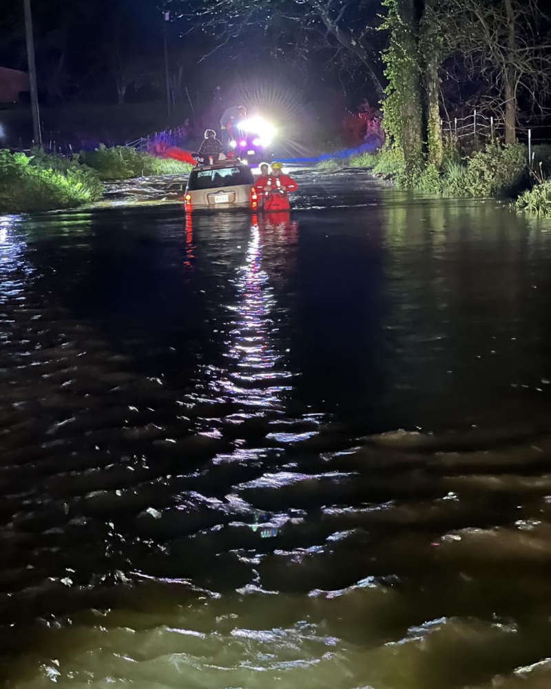
Members of the Barry County Swift Water Rescue team aiding a vehicle caught in flood waters. (Photo courtesy Cassville Fire Protection District)
The system that brought several rounds of rain and severe storms to the Lakes Region over the weekend moves out with a final round of storms Sunday afternoon.
An early morning round brought primarily more heavy rain with the final round of storms made its way through the region mid-afternoon prompting Tornado Warnings for parts of the Lakes Region, including areas just north of Harrison in Boone and Marion Counties as well as north of Branson between Taneyville and Bradleyville.
Storm reports submitted to the National Weather Service Sunday include:
Taney County
Trees and Power Lines were reported down in Hollister while a tree was reported down over a mobile home in Rockaway Beach and trees were also reported down in areas around Forsyth and Kissee Mills.
Stone County
Rounds of Rain caused flooding on several roads around Elsey and Hurley. A Flood Warning remains in effect for the James River at Boaz and Galena with the river expected to be above flood state at both locations through this afternoon.
Barry County
Several reports of highway and street flooding around both Cassville and Monett with several trees also reported down in both Monett and Seligman. Trees were also reported down in southeastern Barry County striking two vehicles and the side of a house. In addition, the Cassville Fire Protection District reported on their Facebook Page that the County's Swift Water Rescue Team was activated to rescue the occupants of a vehicle got in flood waters early Sunday morning. No injuries were reported.
Overall for the three days, only one Tornado has been confirmed in the region so far as a brief EF-0 Twister was reported southeast of Springfield on Friday.
The week will start at dry with the next chance of rain coming Wednesday.
POINT LOOKOUT, MO. — College of the Ozarks, after carefully evaluating Sunday operations, is committed to upholding its foundational values by discontinuing Sunday brunch at The Keeter Center. This step, rooted in faith, tradition, and a desire to prioritize students and employees, aligns with the values of the College.
JEFFERSON CITY, Mo. – The Missouri Department of Conservation (MDC) congratulates Riley Isaacs of Bradleyville for becoming the latest state record holder for redear sunfish. The 17-year-old was bowfishing at Lake Taneycomo April 18 when he shot a 2-pound, 3-ounce fish. The previous record under alternative methods was a 2-pound, 2-ounce fish also caught from Lake Taneycomo in 2022.
The Hollister Schools Foundation has presented a $4,000 check to the Hollister R-V School District, funds raised during last spring’s "Coins for a Cause" fundraiser. The generous donation will be used to help purchase two therapy dogs for the district, set to debut at the start of the 2025-2026 school year. The check was presented to Superintendent Dr. Brian Wilson and Assistant Superintendent of District Operations, Dr. Sean Woods, by foundation board members Katie Adams, Ryan Gdovin, and Denise Olmstead.
BRANSON, MO (April 17, 2025) – In 2025, the Shepherd of the Hills Outdoor Drama celebrates 65 years of bringing the historic performance to over 8 million attendees. This milestone marks the show as the oldest outdoor drama in the state of Missouri, as well as maintaining its title as the original show in Branson.


 College of the Ozarks reaffirms Sabbath observance, adjusts Sunday operations
 Rainy Day Before a Cool, Dry Weekend
 Hollister Schools Foundation donates $4,000 for Therapy Dog
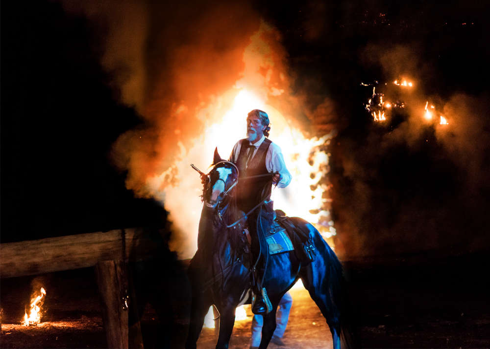 The Shepherd of the Hills Outdoor Drama to Celebrate 65th Anniversary on May 10th


